Problem Statement
The availability of mobility data for scientific analysis has vastly increased, driven by the emergence of inexpensive GNSS recording hardware such as cell phones and small data loggers. Oftentimes, mobility data, which usually contains GNSS coordinates, timestamps, and other sensor measurements, needs to be augmented with additional spatial data in order to derive meaningful information and to facilitate human comprehensibility. Hence, processes like map-matching, geocoding, and routing are standard tools used in mobility data analysis. Unfortunately, available open-source solutions providing such services are heterogeneous in syntax, as well as in in-/output formats and do not offer all the functionalities needed throughout mobility data analysis.
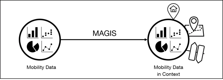
Approach
This project is devoted to the development of MAGIS (Mobility Analysis GIS), a software architecture which harmonizes the syntax and usage of existing open-source GIS solutions, bundles their functions under one interface, and ensures data consistency along the tool chain. MAGIS, as well as its databases are open-source. MAGIS specifically targets the needs of researchers in the field of Mobility Data Analysis and is actively used at the Chair of Automotive Technology.
Software
All software developed in this project is available under: github.com/TUMFTM/MAGIS
Publications
L. Adenaw, J. Kreibich, M. Wittmann, L. Merkle, A. Waclaw and M. Lienkamp, "MAGIS – A Geographic Information System for Mobility Data Analysis," 2019 IEEE Intelligent Transportation Systems Conference (ITSC), Auckland, New Zealand, 2019, pp. 135-141. Available online: ieeexplore.ieee.org/document/8917054