Geo Open Accessibility Tool (GOAT) 3.0

Development of a digital accessibility tool for balanced spatial and transport planning
Background
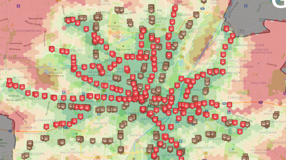
Planning sustainable mobility faces enormous challenges. Complex transport measures, from public transport expansion to neighborhood mobility (15-minute city), have to be evaluated with respect to their spatial effects in a goal-oriented way. This particular challenge comes from the demand for fine-grained analyses with simultaneous practice-oriented, easily communicable preparation of results.
Objectives
The goal is to develop a digital planning tool (GOAT 3.0) by operationalizing the accessibility approach. The innovation lies in the integration of analyses and scenarios for multimodal mobility via an easy-to-use web interface that integrates different spatial levels and versatile destinations (e.g. education, green space). This is accompanied by the development of innovative approaches to data preparation and refinement (e.g. AI, fusion algorithms) to enable data-driven planning for tomorrow.
Implementation
An iterative and co-creative software development process involving application partners is central to this project. Therefore, requirements and tests for real-world planning issues are tackled in workshops, among others. For the development of indicators, findings for empirically validated accessibility indicators are generated in a citizen participation.
Funding
Federal Ministry of Transport and Digital Infrastructure
Duration
November 2021 – October 2024
Homepage
https://www.open-accessibility.org/
Press release on the project launch (German)
Contact |
| Dr.-Ing. Benjamin Büttner |
| +49.89.289.2503 |